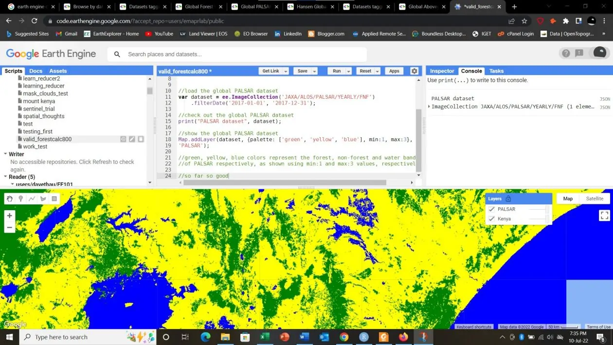
Modern GIS represent a sophisticated and dynamic evolution from traditional mapping and spatial analysis methods. In the contemporary context, Modern GIS involves utilizing geospatial data for insights. It integrates advanced technologies, such as cloud computing, real-time data processing, and web-based platforms, to provide a comprehensive and interactive approach to geospatial data management and analysis.
At its core, Spatial Data Science is the discipline that focuses on extracting meaningful insights and patterns from data that has a geographic or spatial component. It marries the principles of traditional data science with the unique challenges and opportunities presented by spatial information
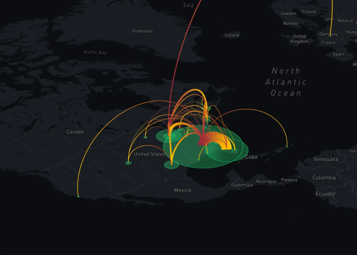
Geospatial software development is a complex and multifaceted process that requires a deep understanding of spatial data, robust technical skills, and a clear focus on the end-users's needs. By following a structured approach from problem identification to deployment, developers can create powerful geospatial solutions that drive innovation and provide valuable insights across various industries.
Geospatial companies emerge as the missing link bridging traditional datasets with the spatial dimension. While traditional data analysis provides valuable insights into trends and patterns, it often lacks the crucial geographic context necessary for holistic understanding. Geospatial companies fill this gap by harnessing the power of geospatial data, which offers a unique perspective on spatial relationships, distributions, and trends
Map projections play a crucial role in cartography and geographic information systems (GIS). However, they often perplex even the most seasoned professionals in the geospatial industry. In most cases, you have to refer back to the documentation and materials to recheck an issue.
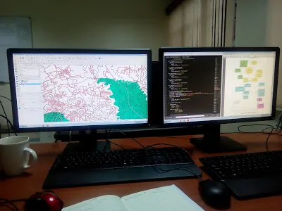
In the competitive landscape of Geographic Information Systems (GIS) careers, a strong GIS portfolio stands as the cornerstone of professional success. Your GIS portfolio not only showcases your expertise and capabilities but also serves as a powerful tool to captivate potential employers or clients.
By avoiding the 10 common GIS mistakes discussed in this article and embracing best practices and continuous learning, GIS users can harness the full power of GIS technology and drive positive change in their organizations and communities.