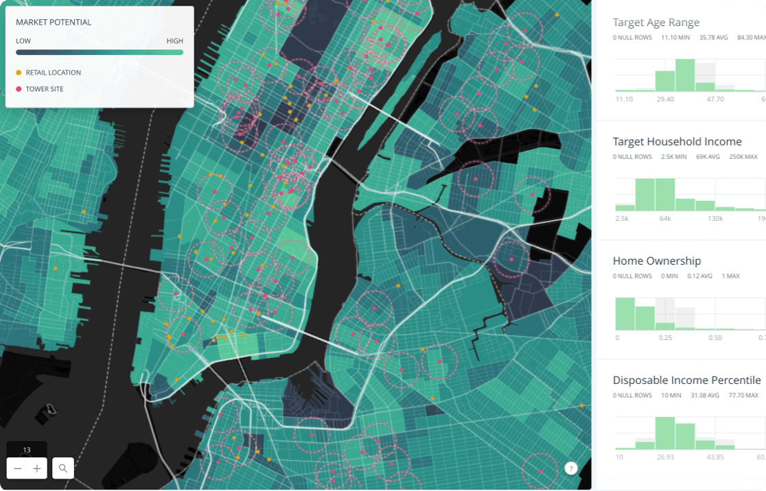
Humanitarian Aid GIS

GIS Technology in the Humanitarian Sector

The Fourth Industrial Revolution is starting to pick up the pace, affecting several industries. The humanitarian sector is one of...

Generating Contours from DEM in QGIS

      A few weeks ago I wrote a post on Generating DEMs from Contours which was quite a...

Begin developing in GIS

For the last few weeks, I have been putting together some ideas that I gathered from different environments...
GIs developer journey

Navigating the GIS Developer Journey

Embarking on a GIS developer journey is an exciting and rewarding endeavour, offering opportunities to contribute to meaningful projects and shape the future of geospatial technology. I've always been a big fan of solutions that help communities and societies. It brings out the purpose and motivation for being the solution provider.Geographic information systems (GIS) have witnessed remarkable advancements in recent years. GIS has spread across diverse industries and is transforming how we perceive and interact with the spatial world

Landsat 8 in Land Surface Temperature Estimations

Speaking of high temperatures or land surface temperature estimations, our advanced spaceborne sensors have been collecting the earth’s...
ladm

A Land Administration Domain Model for Kenya

The Land Administration Domain Model (LADM) is the prevailing ISO standard on land administration and management. Through the use of this model, liaison with the NLC and other stakeholders

GIS Technology in the Health Sector

Introduction The astounding capability of GIS technology to enhance the healthcare industry has been realized over the past...
Create a web map

Create a web map in R using Leaflet JS

Today, we will create a web map of Kenyan wards showcasing dummy electoral results. To also demonstrate a few functionalities.

How to Publish a Shapefile in GeoServer

This tutorial focuses on how to publish a shapefile in Geoserver assuming that GeoServer is already installed and...
gis developer mentor

Finding the Perfect GIS Developer Mentor

Find the perfect GIS developer mentor to enhance your skills and career growth. Get personalized guidance, industry insights, and networking opportunities

Latest Posts

See latest posts