GIS portfolio image

Building a Strong GIS Portfolio

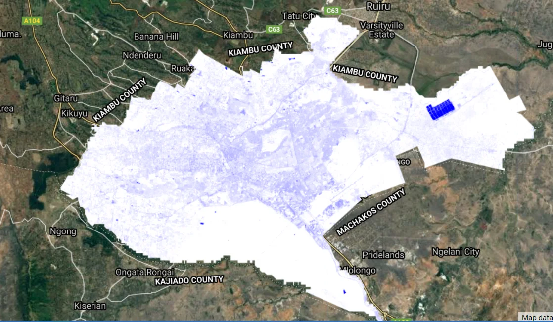
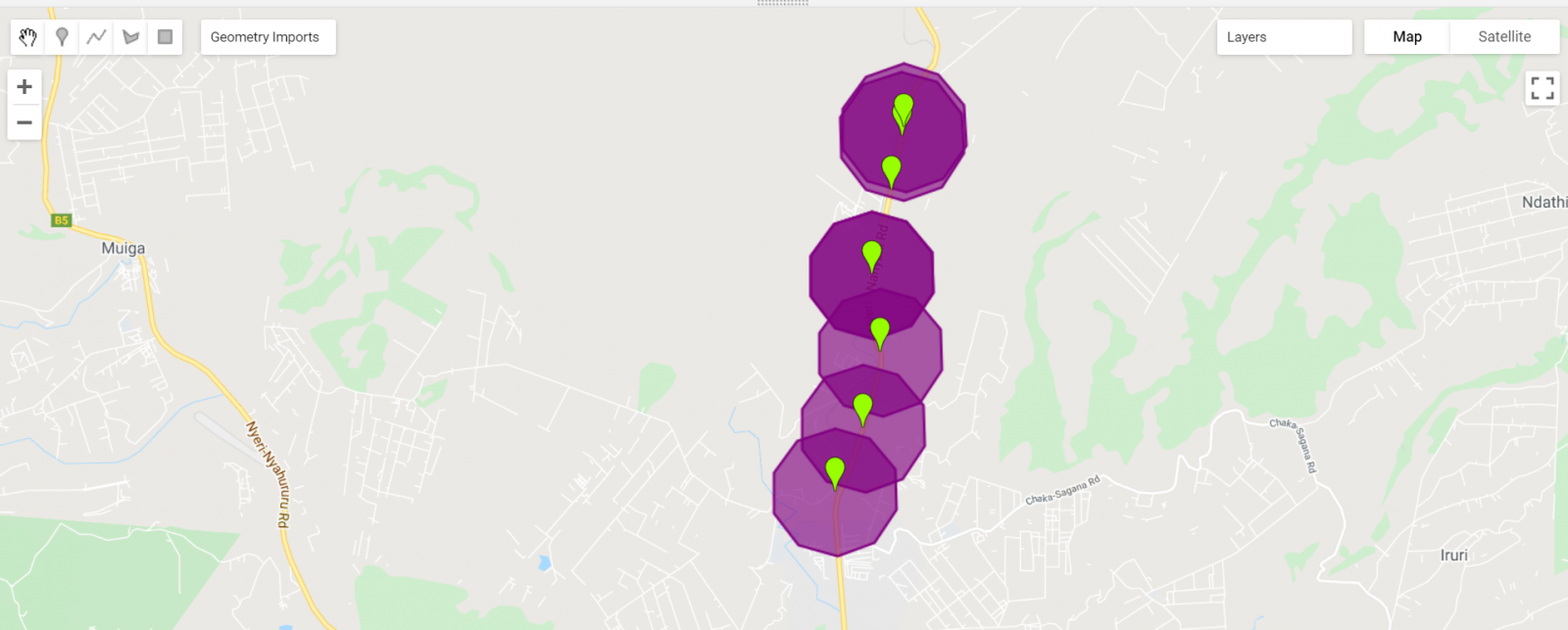
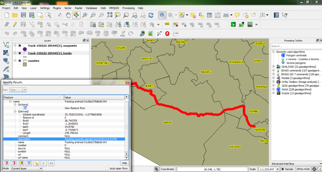
In the competitive landscape of Geographic Information Systems (GIS) careers, a strong GIS portfolio stands as the cornerstone of professional success. Your GIS portfolio not only showcases your expertise and capabilities but also serves as a powerful tool to captivate potential employers or clients.

Computing MNDWI using Sentinel on GEE

What is MNDWI? Modified Normalized Difference Water Index (MNDWI) is a spectral index used to analyze water bodies...
Coding sessions

How I Learnt GIS Development

Unlock the power of self-paced learning for GIS development with tips and insights from my personal journey.

Easing traffic in Nairobi City

The completion of the major routes  and highways such as the Thika Superhighway in February 2012 has seen...
visualize changes over time

Visualize changes over time in Google Earth Engine

Google Earth Engine is a powerful tool in many aspects. We can, for example, look at the visualization...

GIS Technology in the Health Sector

Introduction The astounding capability of GIS technology to enhance the healthcare industry has been realized over the past...

QGIS ‘Essen’ – The good news

In the last few years, QGIS has really grown in a huge collection of tools, algorithms tackling various...

Loading data in Jupyter notebooks

A Jupyter notebook is a document that allows one to write code, notes and explanations as well as...

Computing buffers in Google Earth Engine.

Google Earth Engine supports a wide variety of geometric operations. These include operations on individual geometries such as...

Using Free GPS Tools for Mapping

Sometimes we find ourselves lost while traveling. Right? But have you really tried to leverage some of the...

Latest Posts

See latest posts