gis-project

GIS Project Ideas For Every Developer

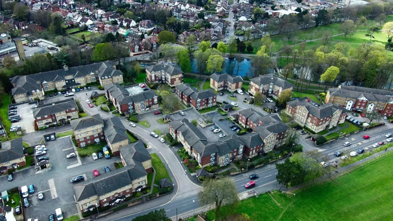
Embarking on GIS projects offers users or college students a dynamic avenue to apply theoretical knowledge and hone practical skills. It not only allows you to apply your geospatial expertise but also contributes to solving real-world challenges.
urban Planning

Urban Planning Information System

On a weekday at 7:30 am, the traffic snarl starts a few kilometres from the town. With that...
Photos in QGIS

Using Photos in QGIS Projects

In QGIS, there are many formats of data-sets that can be used. Joins and relates help users get...

Why Building Geospatial Web Apps is a Game of Trade-offs

When I first got into geospatial web app development, I thought the biggest hurdle would just be getting...
Geospatial technologies

Geospatial Technologies: One-On-One with Stephen Mwai

The County Spatial Plan is a ten-year GIS-based depiction of a county’s socio-economic development vision and program, including the distribution of people and activities, within the context of efficient, productive and sustainable use of land and other county spaces

Publishing maps using QGIS Cloud

Sharing the outputs of your GIS work with other people on the globe has become a common practice...

QGIS ‘Essen’ – The good news

In the last few years, QGIS has really grown in a huge collection of tools, algorithms tackling various...

SpatiaLite Database for Community Mapping

All Geospatial projects contain an element of data collection, storage and preparation. This is a vital stage in...
GIS Applications

10 GIS Applications You Probably Didn’t Know

Geographic Information Systems (GIS) has many applications and benefits, but perhaps the most overlooked application among many GIS...
gis career

How to Grow Your GIS Development Career

At the start of your GIS development career, you will do a lot of research. Whichever the source, format or mode of the materials you use, you end up being a library by yourself.

Latest Posts

See latest posts