A GIS automates creating, analyzing, manipulating, storing, querying and retrieving spatial data for users. However, there are various essential GIS skills that a user should have to utilize the capabilities of a GIS with ease and produce quality products within the stipulated period of time and cost.
GIS Data management
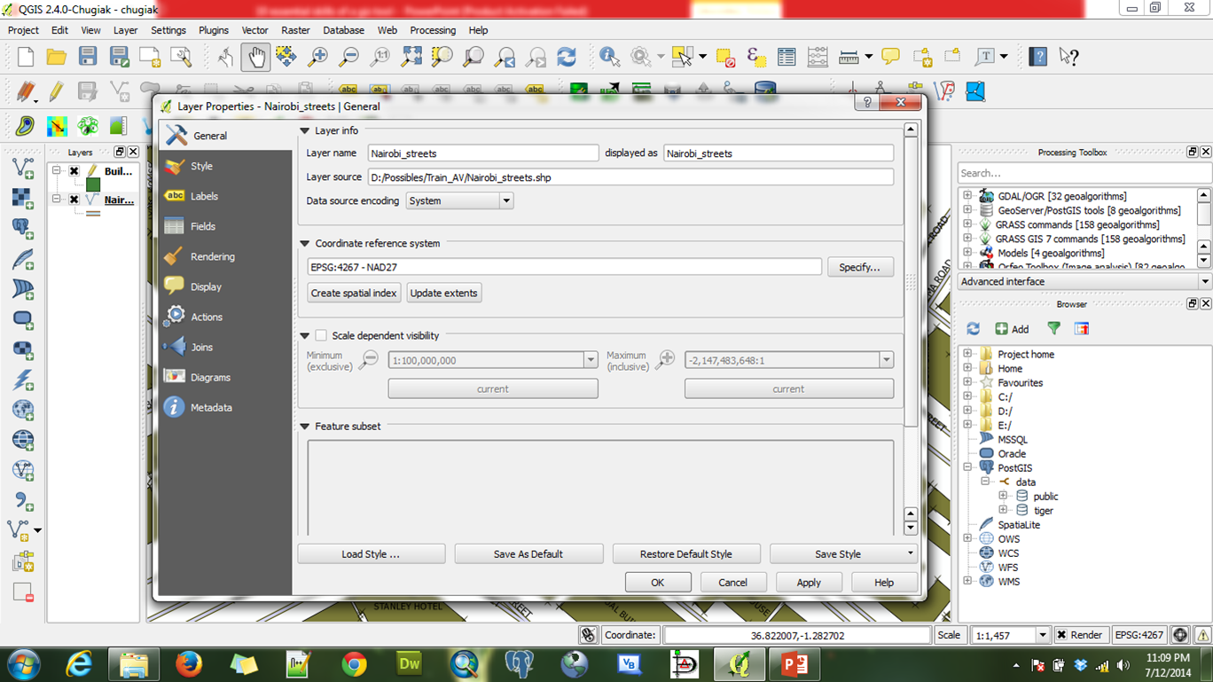
Data management is important to ensure that all data being used is put in an easily accessible location within the application to save time for retrieval. A GIS offers various data management tools to work with during analysis based on the data loaded in the application. The kind of projection used for data in a GIS is vital in determining the actual location of features on the earth’s surface. There are many projections available in GIS that can be used depending on the analysis being carried out.
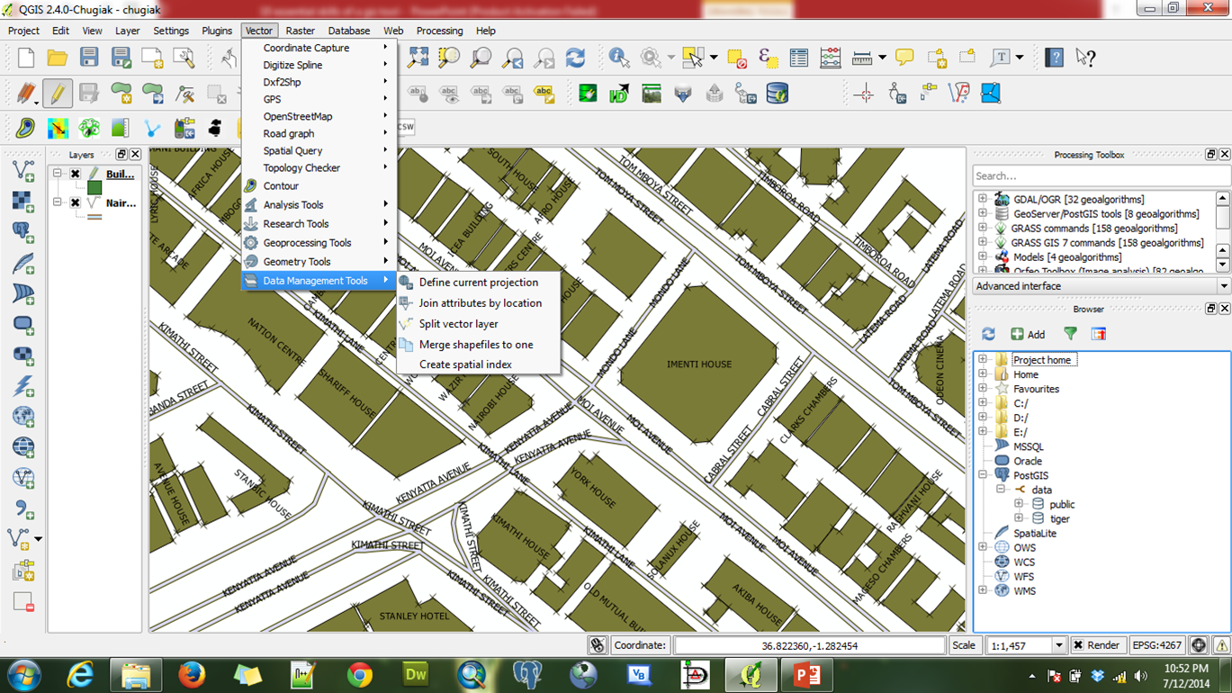
Data management tools
Accessing layer properties
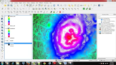
Classifying gis data
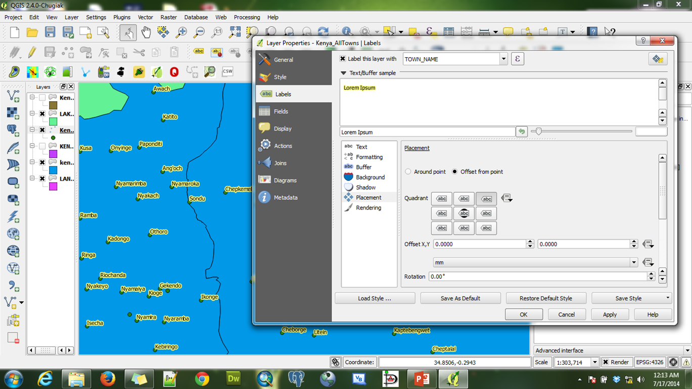
The appearance of layers in a GIS should ensure visual balance and contrast to convey information to the map users effectively.GIS offers a wide variety of Symbology techniques to use for features in a map such as Single, Categorized, and Graduated depending on the data being used. Labels are used to identify and show the identity of features on a map. Labelling is a key skill for every GIS user/professional as the labelling method depends on user specifications.
Changing symbology for features
Labelling features
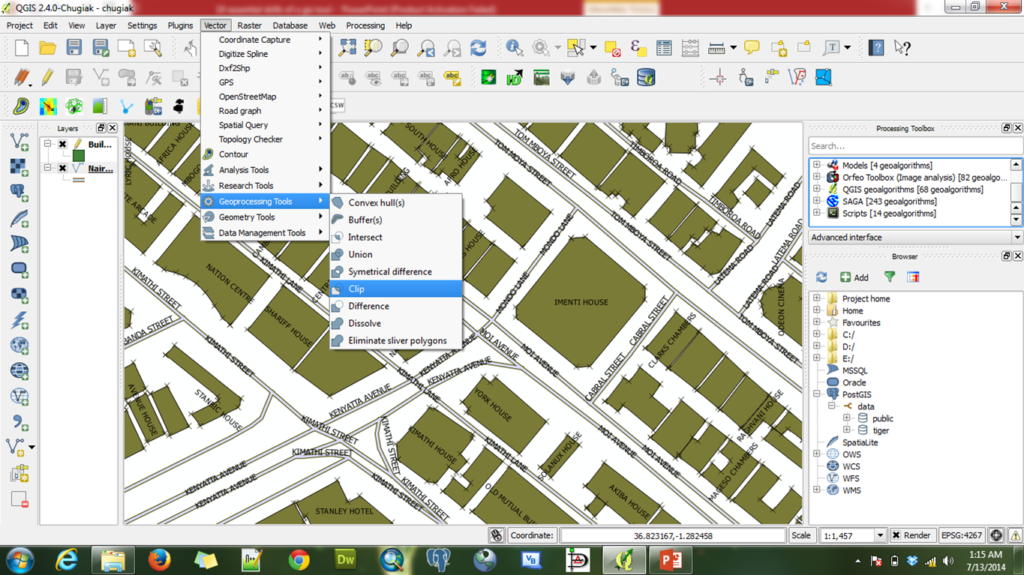
Handling Geo-processing tasks
In the analysis stage in a GIS, there are basic tools which are very useful in carrying out processes based on user’s specifications. There are basic tools that are located in an easily-accessible place in a GIS. This helps in faster and easier access to the tools.
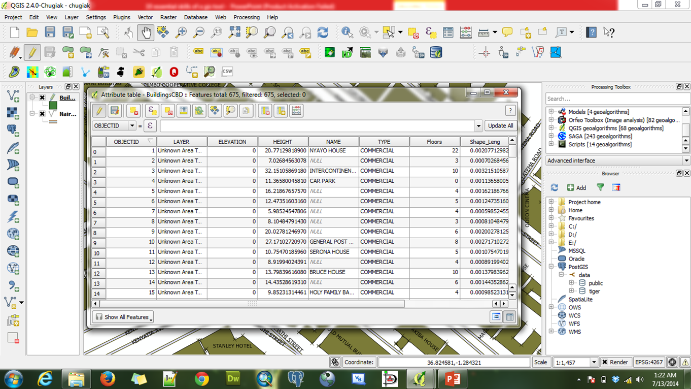
Working with Attribute tables
Attributes in spatial analysis aid in a better understanding of the data that is being used in a GIS. The user ought to check on the attribute table to identify the fields to be used in various analyses.
Accessing attribute table
GIS DATA querying
Data retrieval in any GIS analysis is vital as data must be filtered amongst huge amounts of data. GIS offers a better and more efficient way of data query and retrieval from huge amounts of data using user-defined queries and expressions. Writing these expressions is relatively easy to ensure a faster and more effective way of data retrieval.
These queries can be done using Python scripts or inbuilt querying functionality.
Working with GIS databases
•With the increase in chunks of GIS data around us, we need our skills to store these data in a more sorted and standardized manner-this led to the advent of Geo-databases.
•The recent proliferation of the utilization of GIS in organizations call for more GIS applications to be made available for users who have advanced skill in GIS and for those with little or no skills.
•The GIS guy has the divine task of developing simple GIS applications for various platforms to increase access and utilization of GIS technology.
Writing queries in QGIS
GIS Data presentation
•The aim of every GIS user is to produce great map outputs signifying their work and meeting their goals of the analysis.
•This is done by well presenting the data in the required formats for the targeted group to view or use the maps.
•GIS offers better and more efficient ways of presenting the outputs of user analysis.
Map Composing in QGIS
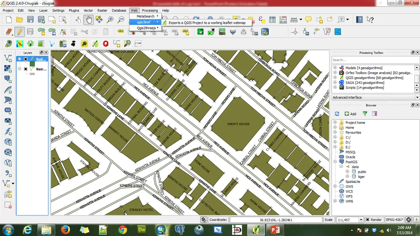
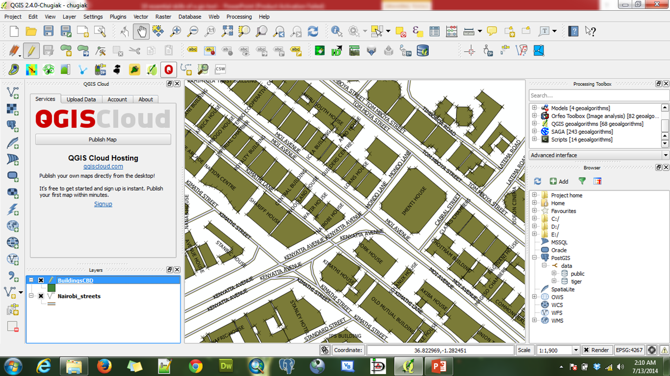
Data publishing
•Modern technology has helped GIS professionals share their work over the Internet with a large number of users across the globe. The internet provides a fast and effective platform for sharing data with users located at different places on the globe thus saving the cost of operation and time for data dissemination.
•Modern GIS provides the capabilities to publish users’ work from their computers to the internet using various ways. One of the ways of publishing data includes the use of plugins.
Passionate about harnessing the power of geospatial technology to create innovative solutions, I'm a GIS Consultant and Developer dedicated to building cutting-edge geospatial applications. With a keen eye for spatial analysis and a knack for problem-solving, I specialize in crafting solutions that seamlessly integrate technology and geography.


9 Essential GIS Skills