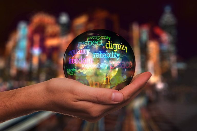
In September 2015, the General Assembly adopted the 2030 Agenda for Sustainable Development which includes 17 Sustainable Development Goals (Sustainable Development Goals). Building on the principle of “leaving no one behind”, the new Agenda emphasizes a holistic approach to achieving sustainable development for all.
The Sustainable Development Goals also include disability and persons with disabilities. Disability is referenced in multiple parts of the Sustainable Development Goals, specifically in the parts related to education, growth and employment, inequality, and accessibility of human settlements, as well as data collection and the monitoring of the Sustainable Development Goals.
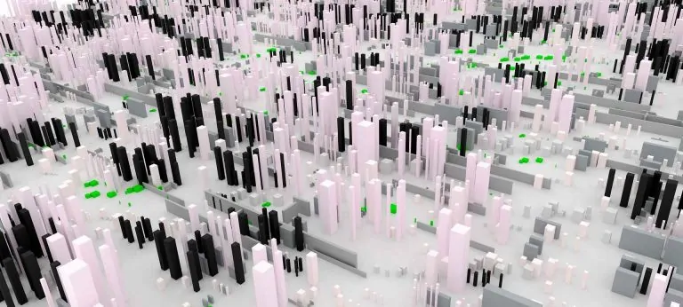
GIS and Sustainable Development Goals
The year 2016 marks the first year of the implementation of the Sustainable Development Goals. This article focuses on Goal 1: End poverty in all its forms everywhere, Goal 3: Ensure healthy lives and promote well-being for all at all ages, Goal 7: Affordable and clean energy, Goal 13: Take urgent action to combat climate change and its impacts, Goal 15: Protect, restore and promote sustainable use of terrestrial ecosystems, sustainably manage forests, combat desertification, and halt and reverse land degradation and halt biodiversity loss and Goal 17: Strengthen the means of implementation and revitalize the global partnership for sustainable development.
Goal 1: End poverty in all its forms everywhere
Studies have shown that there is a direct correlation between poverty, land registration and informal non-transparent land markets. Governments must therefore be able to efficiently evaluate and assess situations, formulate strategies, implement and monitor land tenure and registration projects and facilitate the development of transparent and formal land markets.
These functions can only be successfully executed with the use of geospatial information and the application of related information and communication technologies. Geospatial information, in this instance: titling, parcel boundaries, use of land, dimensions, acreage, encroachments, caveats, ownership types, etc., are the foundation of land title registration and security of tenure.
Goal 3: Ensure healthy lives and promote well-being for all at all ages
Geospatial information systems have the analytical ability to link almost any information to a location. With geospatial information enables geostatistical and location-based analysis to identify areas where services and people are, or are not, being connected.
In case of a malaria outbreak, geospatial applications for smartphones assist the Ministry of Health to identify the location of persons infected and then use this information to deploy teams to eradicate the mosquitos that carry the virus, and initiate social programs in these areas to inform persons on protective measures.
Goal 7: Affordable and clean energy
With GIS technology and mapping, policymakers and planning commissions can easily determine the right location for renewable energy. This is because GIS allows for a deep analysis of wind potential, solar potential, distance to cities, population size, and type of land cover. GIS can even tell project planners the social and environmental impact, like if habitats or migratory patterns would be harmed by the building of a renewable energy plant in that area. All this information offers a clear picture of which locations would be best to implement renewable energy resources versus those that would be a waste of resources and money. GIS technology’s impact can also be felt on a global scale, giving policymakers and planners the ability to examine renewable energy potential across entire continents.
The International Renewable Energy Agency (IRENA) used a GIS approach to make initial estimates of Africa’s renewable energy potential. In its 2014 report, IRENA reported that GIS analysis showed that eastern and northern Africa have the largest potential for solar and wind applications, while the equatorial region offers the most significant potential for biofuel resources. GIS is playing a large role in determining where to focus renewable energy efforts and how best to manage them. This technology highlights the potential for sustainable energy resources, shows data on the actual use of that particular energy source in question, land analyses, and where planners should design renewable energy power plants.
Goal 13: Take urgent action to combat climate change and its impacts
The availability of geospatial information in areas of meteorology, topography, coastal marine, socio-economic information of the local population and disaster emergency facilities can assist in modelling, forecasting and production of evacuation routes, flood inundation scenarios, flood hazard and risk maps. For example, to address disaster risk and assess impacts, and for communities to develop mitigation strategies the following types of fundamental geospatial information are required:
- The profile of the land: topography, bathymetry, river systems, coastline shape and characteristics.
- The hazard: the characteristics, frequency, intensity and extent of different flood and storm events
- Exposure: the location of people and community elements that are exposed to floods, location of homes, buildings, critical facilities and infrastructure e.g. Roads, schools, and hospitals.
- Vulnerability: such as spatially located demographic information of the community. Where are the most vulnerable, and who are they e.g. children, and elderly?
The geospatial information becomes the vital integrator of the many disparate datasets and allows the risk or impact from natural hazards to be understood, and thus supports policymakers, disaster managers, and planners in national, provincial and local government agencies to reduce community vulnerability to the hazards.
Goal 15: Protect, restore and promote sustainable use of terrestrial ecosystems, sustainably manage forests, combat desertification, and halt and reverse land degradation and halt biodiversity loss
Geospatial information and remote sensing technologies are able to monitor and measure the impacts of our interactions with the natural environment and its resources including desertification, deforestation, degradation of land, biodiversity loss, etc.
Specific datasets such as land use and cover, vegetation, fauna, soils, water systems and wetland habitats, etc. enable more accurate estimates of crop production, estimation and yield forecasting and more rigorous deforestation monitoring.
Goal 17: Strengthen the means of implementation and revitalize the global partnership for sustainable development
An example of this process is having global standards for geospatial information so that in times of crisis, countries can share their data, information, knowledge and experiences. These standards allow interoperable and seamless use of information, to address and solve cross-border problems such as air pollution, earthquakes, typhoons, flooding, and other natural disasters. The global sharing will allow countries to spend less time being reactive, and focus more on visionary sustainable development policy-making and implementation using evidence-based geospatial information for decision-making.
GIS and Sustainable Development Goals