Introduction
The GIS industry keeps expanding and is fascinating right now. Maps speak more effectively than words, geospatial analytics assists us in understanding and making judgments about our environment in a larger scope, and cloud computing stretch further down the line.
GIS is assisting in unlocking opportunities in ecological research, protecting the natural environment, environmental assets, commercial analytics, disaster response, criminal mapping, and other fields. As a countrywide data system, GIS is growing as a societal network. GIS, without a doubt, has a lot more potential than merely desktop applications. Global warming will have a significant impact, and GIS will play a critical part in the urgent rush to mitigate the damages.
Growth
Because of the growing need for location-based statistics among organizations to increase efficiency, productivity and decision-making, the GIS industry is expected to develop at a rate of 10.8% between 2021 through 2026. During the projection period, the rising requirement to combine conventional information with spatial information in order to get significant ideas from location-based data will open up new expansion opportunities for the GIS industry.
The use of IoT, Machine Learning(ML) and Big Data analytics systems in company activities have accelerated the collection of real-time geolocation data for the purpose of providing highly useful and location-specific services to users.
Another component driving industry expansion is government-sponsored programs aimed at the progress and expansion of smart cities. This specific need will raise the need for GIS technology in order to enable a highly linked urban network.
In India, for example, the national administration revealed intentions to use geospatial technology for a smart cities initiative(2019-2023). The Indian administration intends to leverage geospatial data to allow integrated and coordinated governance. This will be done via the employment of real-time location information analytics in order to accomplish its ambition of building 100 smart cities throughout the country.
The smartphone GIS application sector is predicted to grow at a CAGR of more than 18% over the projected period because it allows customers to easily acquire and submit GIS information to internet imaging software like Google Earth. Smartphone GIS technological advances are a cost-effective method of gathering spatial information that helps to increase data accuracy and productivity while decreasing mistakes. The growing need for mobile solutions that provide GIS customers with a more simplified experience through the development of applications to gather and view data is expected to boost GIS market expansion.
GIS industry by Region
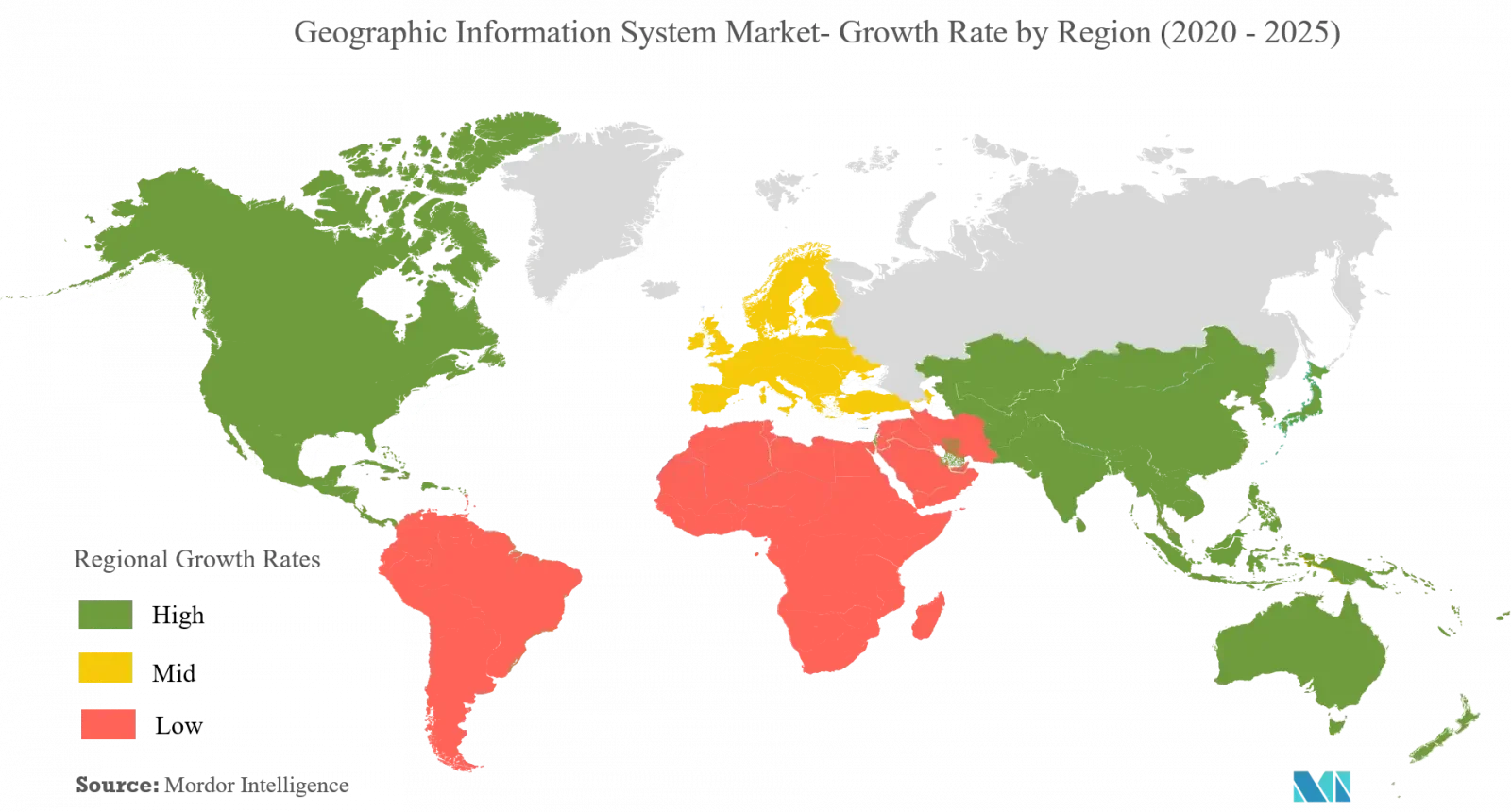
The North American GIS industry maintained a substantial market proportion of more than 40 per cent overall in 2017 and is expected to hold a considerable market proportion by 2024. This is attributed to increased government-led efforts adding to the area’s geospatial industry’s progress and expansion.
For example, in June 2018, the United States Air Force granted SpaceX a $130 million agreement for the deployment of AFSPC-52 satellites in late FY2020. Another element driving market expansion is the area’s larger proportion of GIS solution suppliers. These firms offer the most sophisticated spatial and mapping information analytics technologies and are devoted to providing GIS experts and surveyors with the programs and contemporary software they need to perform surveys.
GIS, and perhaps in the future, can consider creating a national collection with information that all market participants can acquire, as in the example of the United States. Thus, GIS may significantly enhance their sales by decreasing expenses and waste and allowing retail and advertising managers to make faster judgments.
GIS industry by use
Government entities are anticipated to increase their use of GIS software installation. Growing government expenditures in the aerospace & defence sectors are driving the need for sophisticated location-based technology, which in turn is boosting the need for GIS systems. Government officials are increasingly using GIS innovation for spatial assessment in order to generate improved data-driven judgments on the state’s and country’s overall wellbeing. Geospatial data is used by defence organizations to conduct critical reconnaissance and surveillance missions such as terrain analysis, battlefield operations, and surveillance of potential terrorist operations.

Trends
The use of GIS applications for surveying and mapping applications in different verticals such as military, transportation, construction, and crisis control is likely to fuel market expansion. The expanding trend of location-based technology and the multiplication of linked devices will raise the company’s need for GIS applications to store and assess geospatial data for better business decision-making.
Federal agencies throughout the world are also investing extensively in the development of sophisticated spatial networks, which is increasing the need for navigation and positioning systems. To meet the demands of surveyors and GIS experts, GIS solution vendors are expanding their product portfolios by spending on research and advancement or collaborating with other organizations to build unique solutions.
Current trends are driving our organizations to concentrate on retailing alternatives in order to develop software that blends geographic, demographic, and economic statistics. Findings in data sets may be prepared and examined to assist merchants in analyzing how their plans are executed and customer purchasing behaviour.
Employing GIS systems, everything would be depicted on a map, demonstrating the software’s usefulness and all of the essential data it can provide. In practice, it will be feasible to show how the program can be utilized successfully in salesforce management, customer profiling, drive time assessment, market forecasting, market segmentation, marketing activities, and so on, and how this leads to improved sales control.
With the rising number of connected automobiles, vehicle-generated data like brake systems and vehicle checks play a significant part in supplying contemporary navigation and telematics solutions. Because telematics and navigational systems employ geo-informatics information for functions such as location and vehicle & traffic control, the demand for GIS applications to aid connected automobiles and driverless vehicles is expected to grow dramatically between 2018 – 2024.
The growing usage of GIS systems in the transportation industry, the growth of urbanization and smart cities, and GIS incorporation with robotics and drone equipment are the primary drivers driving industry expansion. Furthermore, the incorporation of cloud computing in Geographic information systems, as well as the advancement of 4D and virtual or augmented technologies, are likely to open up new prospects for the GIS industry.
Conclusion
A good GIS might not be an off-the-shelf answer to your difficulties, and its deployment will take some consideration. GIS solutions are now being used in a variety of industries to aid professionals and specialists in evaluating various forms of geographical data and handling difficult circumstances.
In geospatial intelligence, business, transportation, community security, charting and mapping, natural resources, tourism, government, education, and health care, GIS serves an important role in assisting people in collecting and analyzing similar spatial information and displaying data in various formats.


GIS Industry: The Growth and Trends